
Fresno County ZIP Codes and Coverage
A Fresno County ZIP code is assigned by USPS delivery geography in California. The descriptions below are practical routing context from the research, not a stable legal neighborhood map. Some ZIPs touch other counties, some serve unincorporated communities, and some are special-use or post-office routes. Check a specific address through USPS before connecting it to an Assessor, city, or county record.
| ZIP Code | Area Served | Post Office or Station | Routing Note |
|---|---|---|---|
| 93602 | Auberry | Auberry | Foothill and rural county |
| 93605 | Big Creek | Big Creek | Mountain and utility community |
| 93606 | Biola | Biola | West of Fresno, unincorporated |
| 93607 | Burrel | Burrel | Rural west county |
| 93608 | Cantua Creek | Cantua Creek | West-side rural |
| 93609 | Caruthers | Caruthers | South county |
| 93610 | Chowchilla area | Neighboring Madera County | Boundary verification needed |
| 93611-93612 | Clovis | Clovis stations | Urban Clovis, not Fresno city by metro label |
| 93613 | Clovis PO boxes | Clovis | PO-box or special-use route |
| 93616 | Del Rey | Del Rey | Southeast county |
| 93619 | Northeast Clovis | Clovis | Growth edge and city-county mismatch |
| 93620 | Dos Palos | Primarily Merced County | Fringe verification |
| 93621 | Dunlap | Dunlap | Foothill |
| 93622 | Firebaugh | Firebaugh | West county |
| 93623 | Fish Camp | Fish Camp | Mountain, near Mariposa boundary |
| 93624 | Five Points | Five Points | Rural west county |
| 93625 | Fowler | Fowler | City and surrounding rural routes |
| 93626 | Friant | Friant | County edge and foothills |
| 93627 | Helm | Helm | Rural west county |
| 93628 | Hume | Hume | Mountain |
| 93630 | Kerman | Kerman | West of Fresno |
| 93631 | Kingsburg | Kingsburg | South county near Tulare boundary |
| 93634 | Lakeshore | Lakeshore | Sierra and National Forest area |
| 93640 | Mendota | Mendota | West county |
| 93641-93642 | Miramonte and Mono Hot Springs | Local mountain stations | Foothill or remote seasonal context |
| 93646 | Orange Cove | Orange Cove | East county |
| 93648 | Parlier | Parlier | City and surrounding area |
| 93650 | Fresno and Pinedale | Fresno station | Small postal identity in north Fresno |
| 93651 | Prather | Prather | Foothill hub |
| 93652 | Raisin City | Raisin City | Unincorporated south and west |
| 93654 | Reedley | Reedley | Southeast county |
| 93656 | Riverdale | Riverdale | Southwest county |
| 93657 | Sanger | Sanger | East county |
| 93660 | San Joaquin | San Joaquin | West county city |
| 93662 | Selma | Selma | South county |
| 93664 | Shaver Lake | Shaver Lake | Mountain |
| 93667-93668 | Tollhouse and Tranquillity | Local stations | Foothill and west county routes |
| 93675 | Squaw Valley and Miramonte area | Yokuts Valley naming locally | Historical name search needs care |
| 93701-93707 | Central, southeast, east, west, and southwest Fresno | Fresno stations | Urban neighborhoods and edges |
| 93710-93711 | Northeast and northwest Fresno | Fresno stations | Library, Fig Garden, and boundary context |
| 93720-93723 | Northeast, northwest, and west Fresno | Fresno stations | Woodward Park and western edges |
| 93725-93728 | South, east, central, and Tower District areas | Fresno stations | City and county parcels can meet |
| 93730, 93737 | Far northeast and southeast growth areas | Fresno stations | Verify current boundaries |
| 93740, 93741 | Fresno State and Fresno City College | Institutional routes | Not ordinary neighborhood geography |
| 93750, 93755, 93760, 93761, 93764-93765 | Special or organizational Fresno uses | USPS-designated | Verify each address |
| 93771-93779, 93786, 93790-93794, 93844, 93888 | Special, PO-box, or organizational uses | USPS-designated | Do not treat as residential geography |
The table is a routing aid. USPS does not publish a stable official neighborhood-by-ZIP table, so active codes, station names, and a particular address should be checked before publication or a record request.
Fresno County 936xx Communities
The 936xx portion of the Fresno County ZIP code directory shows how delivery geography can cross the county's city and rural pattern. Auberry, Dunlap, Prather, Shaver Lake, Tollhouse, Hume, and mountain stations need a foothill or mountain lookup mindset. Biola, Burrel, Cantua Creek, Firebaugh, Five Points, Helm, Kerman, Mendota, Raisin City, Riverdale, San Joaquin, and Tranquillity show the agricultural and west-side spread.
Community names can persist when a parcel's legal description, postal city, and modern jurisdiction use different terms. Kingsburg, Fowler, Reedley, Sanger, Selma, Orange Cove, Parlier, and Clovis each require address-level verification when a record crosses an incorporated edge or neighboring-county boundary. A postal code narrows the route; it does not choose the assessor, planning department, or court.
For a rural address, save the postal city, county, APN, township or subdivision reference, and map layer. That group of keys is more durable than a ZIP alone.
Fresno County 937xx Urban Pattern
937xx codes divide Fresno's central, south, east, west, north, and growth areas into delivery zones. 93701 and 93721 point toward the central and downtown office pattern, while 93728 carries the Tower District and west-central historic fabric. 93710, 93711, and 93720 sit in north and northeast contexts, and 93725, 93727, 93730, and 93737 touch south or growth edges.
Fig Garden illustrates why a postal directory cannot stand in for a city boundary. A postal address can carry a Fresno label while the parcel sits in an unincorporated county pocket or a different service area. Use Fresno County GIS and City GIS to check jurisdiction, then use the Assessor or Recorder for parcel and title facts.
For the address-level chain after a ZIP narrows the search, the Fresno County street directory route starts with the situs address and APN rather than a ZIP-wide list.
Fresno County Special-Use ZIP Codes
Several Fresno postal codes are described in the research as PO-box, institutional, special, or organizational routes. 93613 is a Clovis PO-box or special-use route. 93740 is associated with Fresno State, and 93741 with Fresno City College. The larger 93750, 93755, 93760, 93761, 93764-93765, 93771-93779, 93786, 93790-93794, 93844, and 93888 group should not be treated as an ordinary residential map without a specific address.
A unique or special-use ZIP can return a mail destination rather than a neighborhood. Do not assume that a person or parcel record exists within the same geography as a standard carrier route. USPS is the delivery authority, while GIS supplies the parcel and jurisdiction context.
Use the current USPS postal lookup for a live address check before routing a public-record request.
Finding Fresno County Residents by ZIP Code
A postal directory search needs a second key because local resident systems are not built as ZIP-wide public browsers. The basic Fresno Assessed Value Lookup accepts APN or street number, direction, street name, and city, but no ZIP field. The Recorder index is principally by party, date, document type, and legal description. My Voter Status authenticates a person rather than listing a ZIP. GIS may spatially intersect ZIP polygons when a layer is available, but a polygon remains an approximation.
- Verify the delivery code. Put the complete address into USPS and save the returned ZIP, city, and state format.
- Check legal geography. Use county and city GIS to determine jurisdiction, parcel boundaries, and APN.
- Search the right custodian. Use the Assessor for address and parcel facts, Recorder for named instruments, court for a known party or case, and the library for historical listings.
- Keep ZIP and parcel separate. A postal match does not make a special-use code a neighborhood, and a city label does not make a parcel city-owned.
Once a ZIP narrows the geography, move to one address at a time. A postal code can organize research notes, but it rarely supplies the final resident match.
Fresno County ZIP Search Fields
The USPS route is the most direct live check for a postal code because it accepts delivery information rather than a county resident name. The exact form can change, but the research identifies two supported modes: verifying a street address or looking up a city and state. Use the returned postal city as delivery context, then confirm the parcel and jurisdiction elsewhere.
| Street address | Enter the complete delivery address when verifying one location. |
|---|---|
| City and state | Use the city and state route when checking the ZIPs associated with a place name. |
| Returned ZIP | Use the current USPS result as the delivery code, not as a city-limit result. |
| County follow-up | Carry the address or APN to GIS, the Assessor, Recorder, or planning custodian. |
The county Assessor's address form has no basic ZIP field. That absence matters. A request for every parcel or resident in a ZIP needs an existing roll, map layer, or a qualified purpose, not a promise that a clerk will build a new list.
ZIP Code Boundaries Versus Fresno County Limits
ZIP codes, city limits, census places, and assessor parcels answer different geography questions. A postal Fresno label may reach unincorporated county land. Clovis ZIPs may sit in the same metro area as Fresno without becoming Fresno city. A 93650 Pinedale address has its own postal identity within a north Fresno context. Boundary work should start with USPS and finish with GIS and the legal parcel record.
- ZIP code
- A USPS delivery construct used to route mail.
- ZIP+4
- The extended delivery code that narrows a ZIP route beyond the five-digit code.
- PO-box ZIP
- A code used primarily for post-office boxes or special delivery service, not a normal residential area.
- Unique ZIP
- A code associated with a single institution or organizational destination.
- Carrier route
- A delivery path within a postal area; it is not a legal neighborhood boundary.
Do not use a ZIP mismatch as evidence that an address is wrong. Treat it as a prompt to check the postal result, city or county GIS layer, assessor situs, and legal description in that order.
Pinedale's Fresno County 93650 Quirk
93650 is a small postal designation embedded in the north Fresno context and associated with Fresno and Pinedale. That postal identity can be useful when searching a directory, map, or newspaper, but it should not be mistaken for a city boundary. The address, APN, and GIS jurisdiction still decide which county or city custodian owns the record.
Historical searches should preserve both names. A directory may call the place Pinedale, a modern mailing label may use Fresno, and a parcel or planning record may use a different legal description. Search the name variants, then compare the street, year, and source.
Fresno County Community Contacts by ZIP
ZIP geography can route a resident toward a public community contact, but it cannot supply a private member roster. Fresno's Office of Community Affairs and council-district pages point to public staff, civic meetings, and recognized neighborhood groups. Tower District, Downtown, Fig Garden, Sunnyside, Roosevelt, West Fresno, Woodward Park, Pinedale, and Highway City are useful place identities, not legal boundaries. Verify the address with the group and GIS.
The Fresno Office of Community Affairs is the correct public starting point for engagement contacts. Associations, HOAs, churches, and civic clubs may publish officers or meetings, but voluntary rosters remain controlled by the group. A postal directory should point to a public contact, not reconstruct private membership.
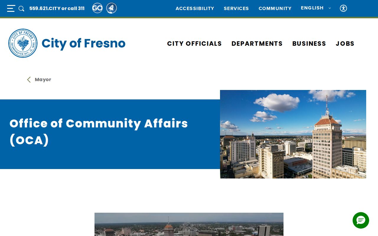
The community-affairs image shows a civic route that supplements, rather than replaces, parcel and postal verification.
Verify Fresno County ZIPs With USPS
USPS is the authority for current delivery routing. Use its lookup before treating a postal code as a search filter, especially for fringe communities, PO-box codes, newer growth areas, special-use codes, and the Squaw Valley or Miramonte area where the research notes local Yokuts Valley naming. The returned city is a postal label, not a statement about incorporation.
After the USPS check, save the complete address and use the Fresno County GIS Portal, Assessed Value Lookup, or City GIS to determine the parcel and jurisdiction. A real ZIP code directory workflow therefore runs postal verification first and cadastral verification second.
Use the live USPS address lookup rather than relying on an old neighborhood list.
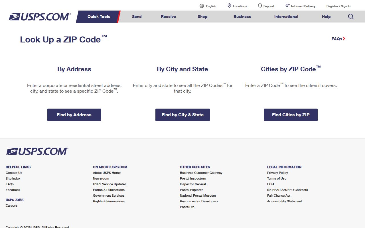
The USPS form is the final delivery check before a ZIP is attached to a Fresno County resident or parcel research note.