
Looking Up Fresno County Neighbors
The useful question is what a source can show about the block. A parcel layer can show geometry and adjacent APNs. An assessment roll can show situs and mailing distinctions. A deed can show a titled party. Haines can show a listed name at an address from its publication period. A neighborhood association can publish a public officer or meeting contact. None of these is a complete Fresno County neighbor roster.
| Source | What It Shows About a Block | Access |
|---|---|---|
| Fresno County GIS parcel layer | Subject polygon, adjacent parcels, APNs, layers and districts | Free viewer |
| Assessor roll and situs | Parcel, assessed facts, owner or mailing distinction | Address/APN form, files, counter |
| Recorder index | Titled parties and deed or instrument trail | Free index, copies paid |
| Haines Criss-Cross | Listed names and telephone sequence by address from 1973 | Library, onsite |
| Community organizations | Public officers, meetings, and voluntary contacts | Published or member route |
Owners are not necessarily occupants, and a listed occupant is not necessarily the title party. A neighbor lookup should preserve the source label and date next to every name. That small habit keeps a parcel fact from becoming an unsupported household claim.
Click Fresno County Neighbor Parcels
Open the Fresno County GIS Portal, search the subject address or APN, and zoom until the parcel edges are clear. Identify the subject polygon, then click each touching or facing parcel. Use address, parcel, aerial, jurisdiction, zoning, flood, and district layers only when they answer a defined question. GIS is a map bridge, not the ownership source.
- Locate the subject. Confirm the situs address and complete APN in the map or Assessor lookup.
- Build the adjacent set. Capture each touching or facing parcel's APN, street label, and legal jurisdiction.
- Follow each APN. Use the Assessor for parcel facts and the Recorder for a named instrument or legal description.
- Compare the mailing clue. A mailing address can differ from situs and does not establish who occupies the place.
- Stop at the block edge. A full named-street chain belongs in the Fresno County street directory workflow.
Dynamic GIS applications can change control names and available layers. Save the map date, APN, and source link rather than relying on a screen memory.
Make Fresno County Neighbor Lists
A block lookup becomes clearer when every parcel gets one row before names are searched. Record the situs number, direction, street, city, APN, parcel relation, current assessed facts, and the most recent deed number or date when available. Include corner parcels and parcels across an alley or facing the subject if the map question requires them.
The Fresno Assessed Value Lookup searches by APN or street address, not by owner name. The Assessor form accepts street number, direction, street name, and city in address mode. Use the map viewers for book, page, lot, block, and subdivision context. A list of APNs is more reliable than trying to type a whole street into a name field that does not exist.
When a parcel splits into units or two street labels seem to point to one place, use the legal description and recorded map. Do not merge rows until the map and deed support the match.
Fresno County Owners and Situs Clues
The situs address identifies the land. The tax mailing address is the channel for assessment notices. When they match, owner occupancy may be plausible, but it is not established. When they differ, the owner may use a trustee, organization, or another mailing location. Neither result identifies every person who shares a parcel.
Use the current deed and assessment roll together. A deed shows parties to the instrument, recording data, and legal description. An assessment product can show APN, situs, assessed values, and owner or mailing fields subject to the roll product. A permit lists the people tied to a project. Each source needs its own label in the block notes.
This insider distinction prevents one of the most common neighbor-search errors: treating an administrative address as a live household fact.
Fresno County Neighbor Block History
Haines Criss-Cross coverage from 1973 provides a countywide address-oriented route for a historic block. Older Polk directories can add alphabetical names, spouses, occupations, and addresses, but the publisher's geography changes. Telephone books follow exchange boundaries and are not full population records. Check the year and footprint before comparing two adjacent numbers.
Maps add place continuity. Fresno library atlases, Sanborn sheets, property atlases, aerial flights, and the 1939 Fresno city block books can connect an old street or lot to a modern parcel. A missing entry may reflect a gap, no listing, changed name, rural exclusion, or a moved household. Pair the address sequence with the APN, deed, census, newspaper, or obituary.
Fresno County Voter Block Limits
My Voter Status is an authenticated self-lookup. It asks for first and last name, date of birth, and a California driver license or ID path or last four Social Security digits. It can show the voter's own status, polling place, and ballot services, but it cannot browse a Fresno County block. Qualified voter-file access under Elections Code section 2194 requires a permitted purpose, application, certification, and safeguards.
A qualified file can contain residence and mailing address, precinct, contact information, party preference, and optional participation history. Driver-license number, Social Security fragments, unique identifier, and signature image are excluded. Voter information should never be used to create an unrelated neighbor list. Historical Great Register material at the library is a different archival channel.
When the question is about one voter, invite that person to check California My Voter Status directly.
Fresno County Community Contacts
Public neighborhood contacts can help someone learn about meetings, local history, or civic concerns without exposing a private member roster. Fresno's Office of Community Affairs and council-district pages are starting points. Tower District, Downtown, Fig Garden, Sunnyside, Roosevelt, West Fresno, Woodward Park, Pinedale, and Highway City are useful place identities, but the group and GIS should verify any particular address.
| Office of Community Affairs | Public staff and program contacts for community engagement. |
|---|---|
| Council districts | Elected-office and district contact route for public issues. |
| Neighborhood associations | Public board or meeting contact when the group publishes one. |
| HOAs | Governing or management contact may be available; membership records remain private. |
| Churches and civic clubs | Public officers or events; historical archives set their own access terms. |
The Fresno Office of Community Affairs is a public contact route. A community organization can help with a local event or history question, but it is not a substitute for parcel, deed, court, or voter records.
Official Fresno County Rolls Compared
Official records and commercial neighbor tools have different source controls. Government and library records can still be incomplete, but the custodian, date, record type, and access rule are visible. A commercial compilation may merge names, retain old addresses, or omit its source trail. Treat an outside compilation as a lead at most, then verify through the proper Fresno custodian.
| Source Type | Strength | Limit |
|---|---|---|
| GIS and parcel record | Shows geometry, APN, and adjacent land | Does not show a household roster |
| Assessor or deed | Names parcel and titled-record parties | Does not prove every occupant |
| Library directory | Provides dated listed occupants and historical context | Publisher gaps and stale entries apply |
| Commercial compilation | May suggest a name or old address | Source, date, and identity merge may be unclear |
The safest comparison is source to source: APN to deed, listed address to directory year, public officer to organization page, and any result to a date.
Fresno County Official Lookups, Not Neighbors
Some public search tools are relevant to a person or safety question but do not map a block. Fresno County Sheriff's inmate search concerns current custody. The California Department of Corrections and Rehabilitation locator concerns the state prison population. California's Megan's Law site has statutory search warnings and is not a general neighborhood directory. Use these only for the limited public purpose described by the custodian.
Review the Fresno Sheriff Inmate Search for its current form.
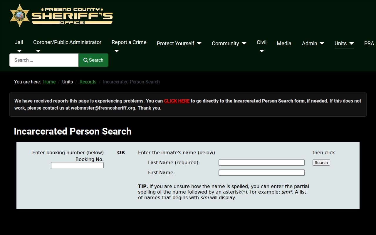
A custody result is not evidence about ordinary neighbors or a block's households.
Use the California Incarcerated Person Locator for the separate state-custody route.
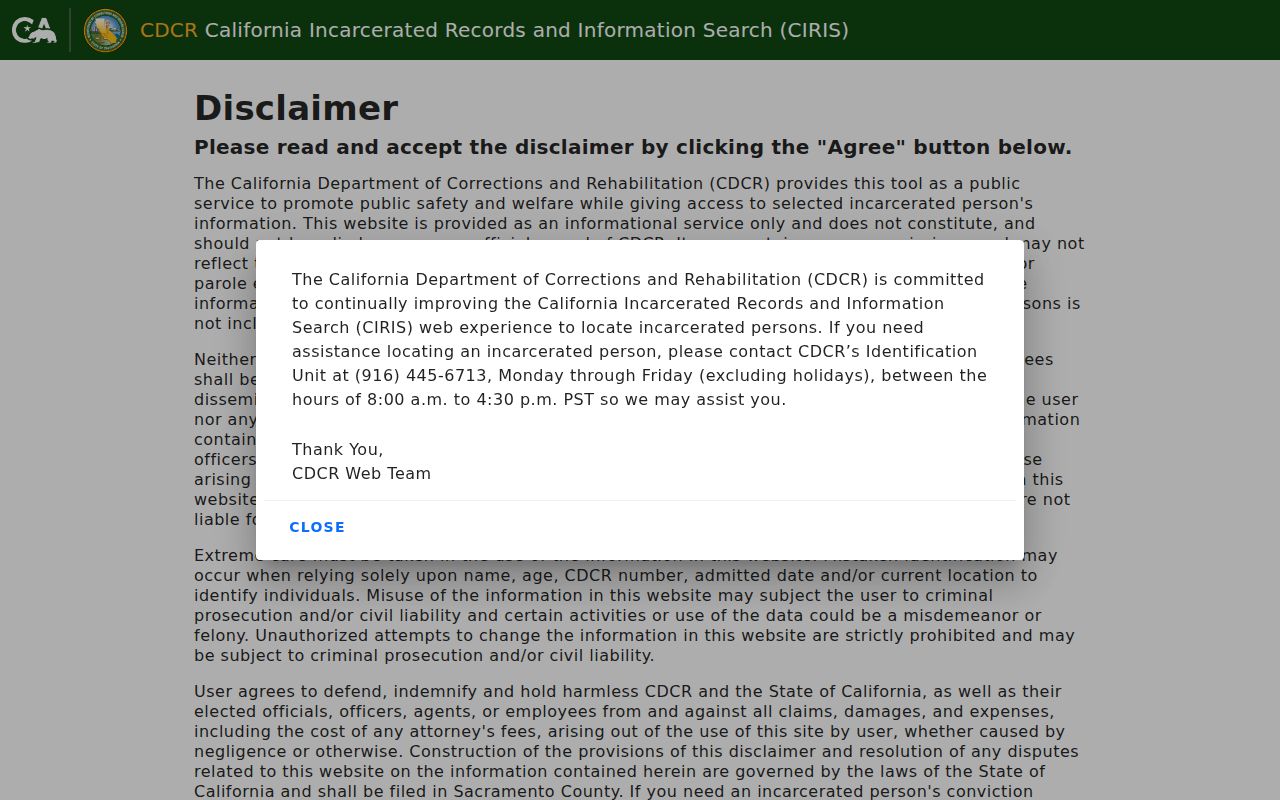
The CDCR locator is a state custody route with a separate population and purpose.
Review the California Megan's Law website for its registry-specific search and use warnings.
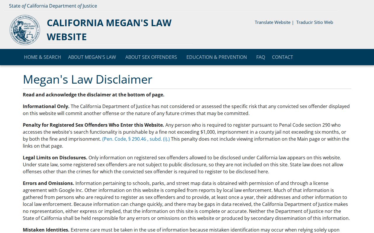
The Megan's Law image carries statutory-use context; it should never be used to harass or target a person.
Fresno County Neighbor Lookup Privacy Limits
Private block facts remain private. Household members, utility and delivery customers, unlisted telephone users, protected voters, and Safe at Home participants are not an open neighbor list. A deed or parcel map can establish a land record while saying nothing about every person at the address. A public association officer is not a public member roster.
California privacy law, voter restrictions, the federal Driver's Privacy Protection Act, and criminal laws against stalking and threats set boundaries around use. If an indexed record is wrong, contact the Recorder, Assessor, Court, or Elections office that controls it. Do not try to correct a protected record by publishing more personal detail.
- Adjacent parcel
- A mapped parcel that touches or faces the subject parcel in the selected GIS view.
- Mailing address
- The destination for tax or record notices, which may differ from the situs.
- Listed occupant
- A person named by a directory publisher for its period and coverage, not a complete household fact.
Lawful use. Fresno County neighbor research is for getting oriented to a block, family history, civic questions, and personal safety awareness. Do not use a name, parcel, or public record to stalk, harass, intimidate, or harm anyone.